MidGard
Artificial Intelligence for Safe Communities
Detect sooner. Understand faster. Make decisions with confidence. The leading operational platform for fire and rescue services.
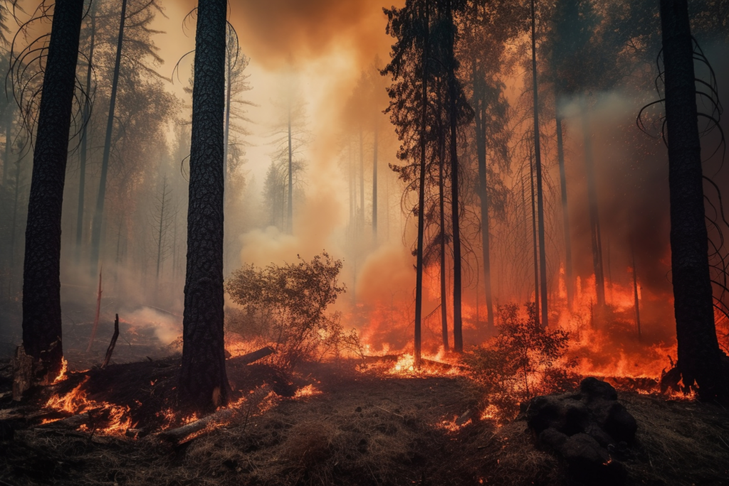
Early Detection of Fire Outbreaks
FireGard combines a high-definition optical network with proprietary, sovereign AI to provide a decisive head start in responding to fires,
thereby minimizing the environmental and financial impact.

Video Surveillance
A network of high-definition PTZ cameras providing 360° coverage per camera.

AI-agnostic
Compatible with all camera brands and models on the market. Smoke Detection Using Artificial Intelligence.

AI-Powered Smoke Detection
Proprietary algorithms detect a plume ranging from 3 meters to 30 kilometers in less than 3 minutes.

Geolocation ±50 m
Multi-camera triangulation. Coordinates transmitted directly to emergency response centers.

Alert Classification
Automatic filtering of false alarms (clouds, wildfires, reflections). A confidence score is provided with each alert.

Native interoperability
Compatible with GEIDE, SI-SDIS, and NEXSIS 18-112. Automated transmission to CTA-CODIS and prefectures.

Operational Situational Awareness
SitGard provides management and field teams with a shared, real-time view of the situation. From the crisis command center (COD) to field supervisors,
every decision is based on the same data, at the same moment.

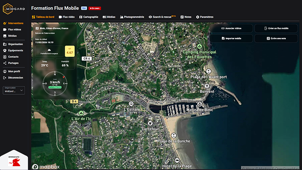
Operational Dashboard
A unified, centralized view of all incidents, resources, and alerts in real time, designed for crisis response teams and field command.

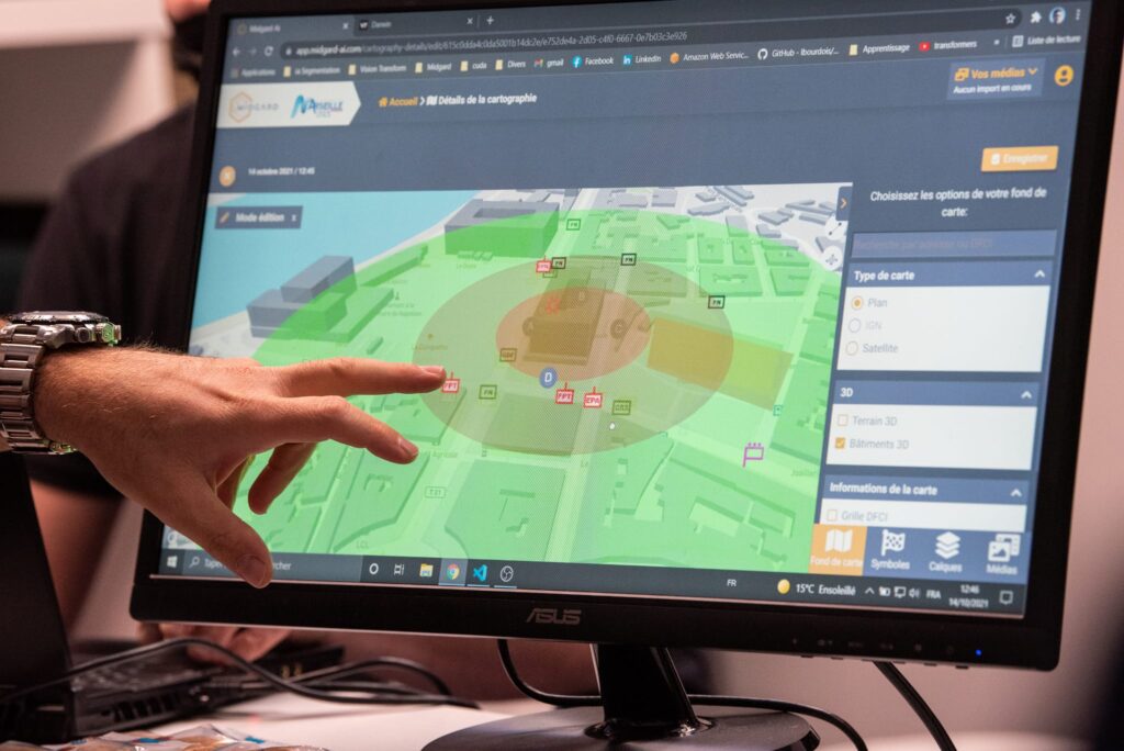
Business GIS Mapping
Vegetation layers, slopes, access points, fire hydrants, aerial resources, and Seveso zones overlaid on an IGN map.

Real-Time Drone Telemetry
GPS data, altitude, battery status, and live video feeds from drones deployed in the theater of operations.

Real-time shared video stream
Simultaneous viewing of video feeds by the Operations Center, tactical command posts, and field teams to enable immediate coordination.

Sharing of Operational Information
A single source of information that allows all stakeholders to work with the same data at the same time.
Demander une démonstration
SitGard
Features:
Real-time viewing of video feeds from your drones and other image-capture systems
Easily share video streams with anyone you choose, speeding up collaboration among the various stakeholders
Secure storage of your data and simple, intuitive app management—all 100% GDPR-compliant
Integrated mapping tool for organizing actions using real-time images of the situation and placing them within a geographic context, featuring industry-specific tools, Sitac symbology, and many other options
Strengths:
Easy to use
100% web-based
Any browser
Any device (phone, tablet, computer)
24-Hour Support
Continuous Innovation
FireGard
Features:
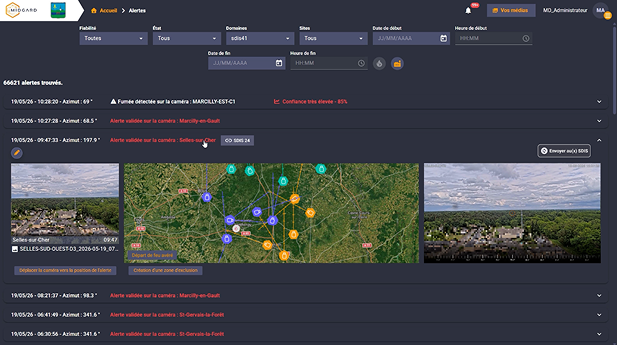
Alerts generated by detection, which can be easily managed and acknowledged, provide a high degree of certainty
Simple and intuitive camera viewing and control for investigative purposes
Integrated GIS for comprehensive mapping and alert location
Strengths:
Ergonomic, 100% web-based interface, compatible with any browser and any device (phone, tablet, computer)
High level of reliability
A solution powered by a unique and scalable deep learning AI algorithm based on a database of over one million images
Perfectly tailored to your needs and seamlessly integrated into your infrastructure